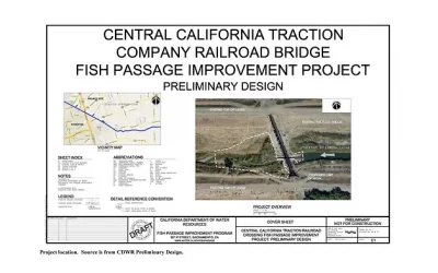
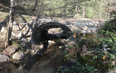
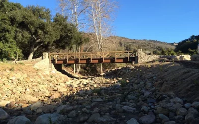
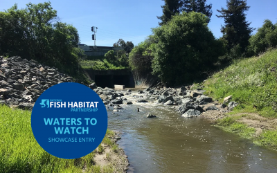
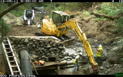
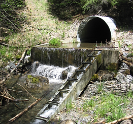
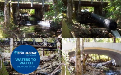
Central California Traction Railroad Bridge Fish Passage Improvement Project Location of Project: 37.9881, -121.2657. This location is the railroad crossing over the Stockton Diverting Canal. Description of Project: This project includes the Stockton East Water...
Back to Funded Projects
Memorial County Park Fish Passage Barriers Remediation Project
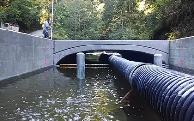
Memorial County Park Fish Passage Barriers Remediation Project Project Lead: San Mateo RCD Video: http://www.sanmateorcd.org/project/memorial-park-fish-passage/ Location of Project: 37.16’26928, -122.17311 Description of Project: This project will modify the two...
Kelly Gulch Fish Passage Project
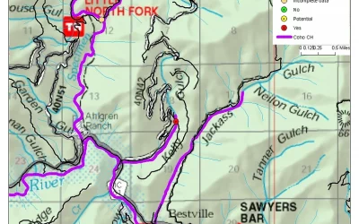
Kelly Gulch Fish Passage Project Location of Project: 41°17’30” 123°10’0” Description of Project: Kelly Gulch is a perennial tributary of the North Fork Salmon River that contains Southern Oregon and Northern California Coast (SONCC) coho salmon, Klamath Mountains...
Dinner Creek Fish Migration Barrier Removal Project
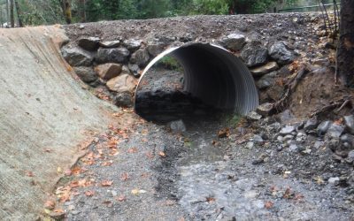
Dinner Creek Fish Migration Barrier Removal Project Location of Project: 40.091508 N, -123.935992 W Description of Project: The project replaces fish migration barrier culverts with natural bottom installations that meet NOAA fish passage design criteria. Removal of...
Sharber-Peckham Fish Passage Project
Sharber-Peckham Fish Passage Project Location of Project: 40º53’45”N Lat, 123º33’38”W Long Description of Project: The proposed project will replace an undersized culvert which has created a migration barrier to anadromous fish species on Sharber/Peckham Creek. This...
Carpinteria Creek Fish Passage Project
Carpinteria Creek Fish Passage Project Purpose: The project will address the last major barrier to steelhead migration in the Carpinteria Creek watershed. The existing barrier is an undersized bridge and concrete lined channel with a series of drop/grade control...
Pinole Creek Fish Passage Project
Pinhole Creek Fish Passage Project In 2014 Pinhole Creek was selected at one of the National Fish Habitat Partnerships 10 Waters to Watch. Read more about it here. Location: Latitude: 37.997110 Longitude: -122.286179 Purpose: This project will restore access to the...
Branciforte Creek Dam Removal
Branciforte Creek Dam Removal Location: The dam is located at 4361 Branciforte Drive, Santa Cruz, CA 95061 in Branciforte Creek. The GPS coordinates are 37°02’16.51” N 121°59’07.48” W. Purpose: Passage barriers for diadromous fish in Santa Cruz County remain one of...
Wilson Creek Fish Passage Project
Wilson Creek Fish Passage Project Location: Wilson Creek, tributary to Hayfork Creek, tributary to South Fork Trinity River in the Shasta-Trinity National Forest. Purpose: The site had a seven-foot diameter corrugated metal pipe (CMP) culvert under a National Forest...
Conner Creek Fish Passage Improvement Project
Conner Creek Fish Passage Improvement Project In 2012 Conner Creek was selected as one of NFHP’s annual list of 10 Waters to Watch. Read more here Project Location: Conner Creek is a tributary to the Trinity River below Lewiston Dam. The project is located in T 33N, R...
Grape Creek
Grape Creek In 2012 Grape Creek was selected as one of NFHP’s annual list of 10 Waters to Watch. Read more here Grape Creek is a tributary to Dry Creek, a major tributary to the Russian River in Sonoma County, CA. The Russian River Valley watershed is NOAA’s first...

