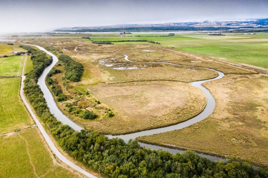
This large-scale cooperative project addressed sediment aggradation, fish passage, flooding, and drainage throughout the Salt River, a tidally influenced tributary to the Eel River Estuary near Ferndale in Humboldt County. Work included river channel restoration, estuary restoration at Riverside Ranch through levee and tidegate removal, upslope sediment reduction, and flood relief. The project benefits coho salmon, Chinook salmon, steelhead, Pacific lamprey, and tidewater goby — all ESA-listed species — and ten years of surveys have confirmed active fish use of the restored channel.
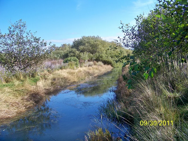
Location: The Salt River is a tidally influenced slough and tributary to the Eel River Estuary, located near Ferndale in Humboldt County, California. The Salt River watershed covers approximately 47 square miles and is bordered by the Eel River to the north and east, the Wildcat Hills to the south, and the Pacific Ocean to the west. The Salt River runs 13.6 miles through the watershed’s alluvial floodplain and outlets into the Eel River Estuary within one mile of the Pacific Ocean.
Historical Presence of Anadromous Fish: The Salt River supports coho salmon, Chinook salmon, steelhead, Pacific lamprey, and tidewater goby — all of which are ESA-listed species targeted by the project’s restoration and monitoring efforts. In the mid-1800s, the Salt River channel was deep enough to support ship traffic as far inland as Port Kenyon, indicating a historically productive and well-functioning estuarine system. Over the following century, sediment aggradation severely reduced channel capacity and fish habitat. The watershed is in the ancestral territory of the Wiyot Tribe, who historically relied on the river’s fish populations.
Project Lead Organization: Humboldt County Resource Conservation District (HCRCD)
Project Partners: A large multi-agency coalition including: State Water Resources Control Board; State Coastal Conservancy; Wildlife Conservation Board; CDFW; NRCS; Caltrans; Department of Water Resources; Department of Conservation; North American Wetlands Conservation Act; USFWS; National Fish and Wildlife Foundation; NOAA Restoration Center; Ducks Unlimited; California Conservation Corps; US Army Corps of Engineers; Humboldt County; Humboldt State University; Pacific Coast Joint Venture; Pacific Marine and Estuarine Fish Habitat Partnership; California Fish Passage Forum; Pacific States Marine Fisheries Commission; City of Ferndale; Greater Ferndale Community; Western Rivers Conservancy; and H.T. Harvey & Associates (restoration design).
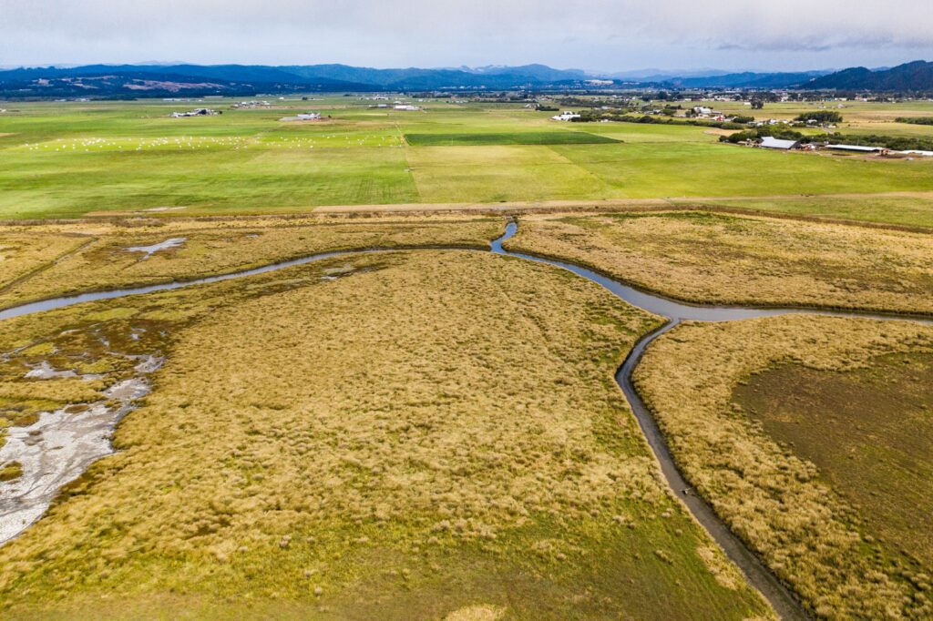
Project Description: The SRERP is a cooperative public/private partnership that takes a holistic, watershed-wide approach to address sediment, fish passage, flooding, and drainage issues. The project’s four primary components are: river restoration of hydraulic capacity and fish habitat on the Salt River and lower Francis Creek; estuary restoration of Riverside Ranch to tidal marsh; upslope sediment reduction through work with private landowners; and flood relief for Ferndale and surrounding farmland. The planning process began in 1990 following decades of sediment-driven flooding and channel degradation.
Expected Completion: Fall 2021
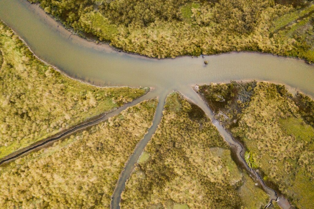
Project Effectiveness: Multi-season monitoring documented significant fish response. In 2014 — only six months after removal of tidegates and levees from Riverside Ranch — 19 fish species were detected including juvenile coho and Chinook salmon. A total of 37 juvenile coho were captured in the 2014-15 season and 42 in the 2015-16 season, with coho documented progressively further upstream in the restored channel. In March 2016, the first steelhead ever documented in the restored Salt River channel was captured, and Pacific lamprey were also detected in the estuary. Ten years of fish surveys have shown that fish are actively utilizing the restored Salt River channel, confirming the ecological value of the restoration investment.