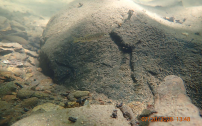
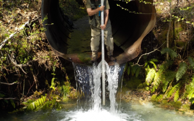
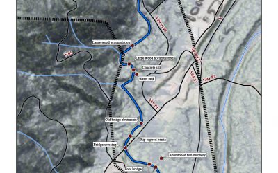
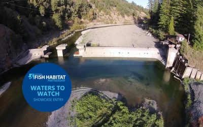
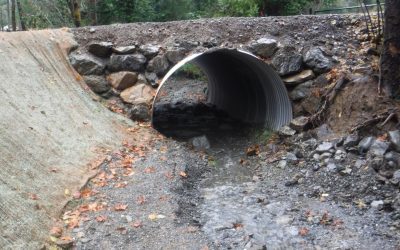
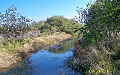
North Fork Ryan Creek Fish Passage Design Project Lead: Eel River Watershed Improvement Group Location of Project: 39.483544, -123.360645 Description of Project: This fish passage project is on North Fork Ryan Creek, which is a tributary to Ryan Creek, a...
Back to Funded Projects
Little Case Fish Passage Project
Little Case Fish Passage Project Project Lead: Eel River Watershed Improvement Group Location of Project: 39.68385° N, -123.51815° W Description of Project: Little Case Creek is a tributary to Tenmile Creek, one of the largest tributaries to the South Fork Eel...
Cooper Mill Fish Passage Improvement Project Design
Cooper Mill Fish Passage Improvement Design Location of Project: Downstream Project Extent -40.55923000 : -124.05789000 - Cooper Mill and Yager Creek confluence, Map COMPLETED: The objective of this project is to develop preliminary site characterizations that will...
Benbow Dam Removal
Benbow Dam Removal In 2017 this project was selected as one of NFHP's annual list of 10 Waters to Watch. Learn more here Project Lead: California State Parks Location of Project: 40.06566100, -123.80127200 Description of Project: This project will remove Benbow Dam to...
Dinner Creek Fish Migration Barrier Removal Project
Dinner Creek Fish Migration Barrier Removal Project Location of Project: 40.091508 N, -123.935992 W Description of Project: The project replaces fish migration barrier culverts with natural bottom installations that meet NOAA fish passage design criteria. Removal of...
Salt River Ecosystem Restoration Project
Salt River Ecosystem Restoration The Salt River Watershed is located in coastal northern California in the Eel River Delta. The watershed extends from the Wild Cat Mountains on the south, to the Eel River on the north. A fertile agricultural valley lies between. Due...