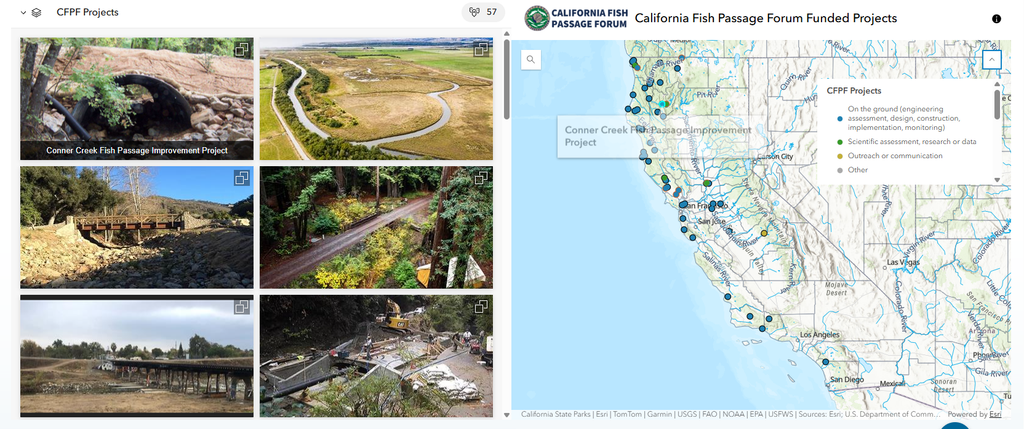
The Forum has recently created a WebApp to showcase our 57 funded restoration projects in one place. This tool brings years of on-the-ground conservation work into one interactive map-based platform, making it easier to view the scope and impact of fish passage restoration across the state.
With the new app, users can explore an interactive map to discover exactly where funded projects are located, and easily see the footprint of individual barrier removals, habitat enhancements and outreach projects that reconnect critical habitat for salmon, steelhead, sturgeon, and lamprey and other California fish species. Clicking on a project reveals the lead organization, project status, funding amount, and species benefited.