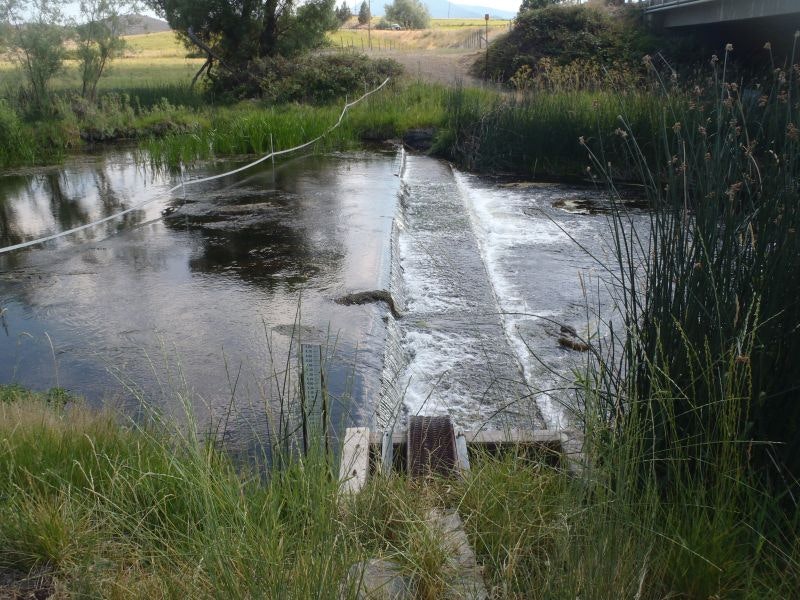
This project modified the Montague-Grenada Weir — a concrete flow measurement structure on the mainstem Shasta River in Siskiyou County that functioned as a near year-round fish passage barrier — by raising the low-flow sill to eliminate the hydraulic drop while preserving the structure’s water measurement function. The modification improves passage for all life stages of Coho salmon, Chinook salmon, steelhead, and Pacific lamprey at river mile 14.6 on one of California’s historically most productive salmon rivers, a tributary to the Klamath River.
Location: Mainstem Shasta River at river mile 14.6, approximately one mile south of the town of Montague, Siskiyou County, California. The Shasta River flows westward through the Shasta Valley before joining the Klamath River near Yreka. The project watershed covers approximately 795 square miles and receives groundwater contributions from cold, nutrient-rich springs associated with Mount Shasta.
Historical Fish Presence: The Shasta River was historically one of the most productive salmon streams in California, supporting large populations of Coho salmon (state and federally listed), Chinook salmon, steelhead trout, and Pacific lamprey. Groundwater-fed cold springs historically provided nearly ideal aquatic habitat conditions throughout the watershed. The weir at river mile 14.6 was identified as a significant barrier particularly to juvenile Coho and steelhead attempting to reach cooler upstream refugia during warm summer conditions, with the hydraulic drop exceeding NOAA passage criteria for juveniles at flows below approximately 260 cfs and for adults below approximately 150 cfs — conditions that occur frequently throughout the year.
Project Lead: Shasta Valley Resource Conservation District (SVRCD)
Project Partners: Scott-Shasta Watermaster District (SSWD); U.S. Geological Survey (USGS); California Department of Fish and Wildlife (CDFW); U.S. Fish and Wildlife Service (USFWS, provided emergency funding in June 2021); landowner Don Meamber.
CFPF Funding: $49,269.20
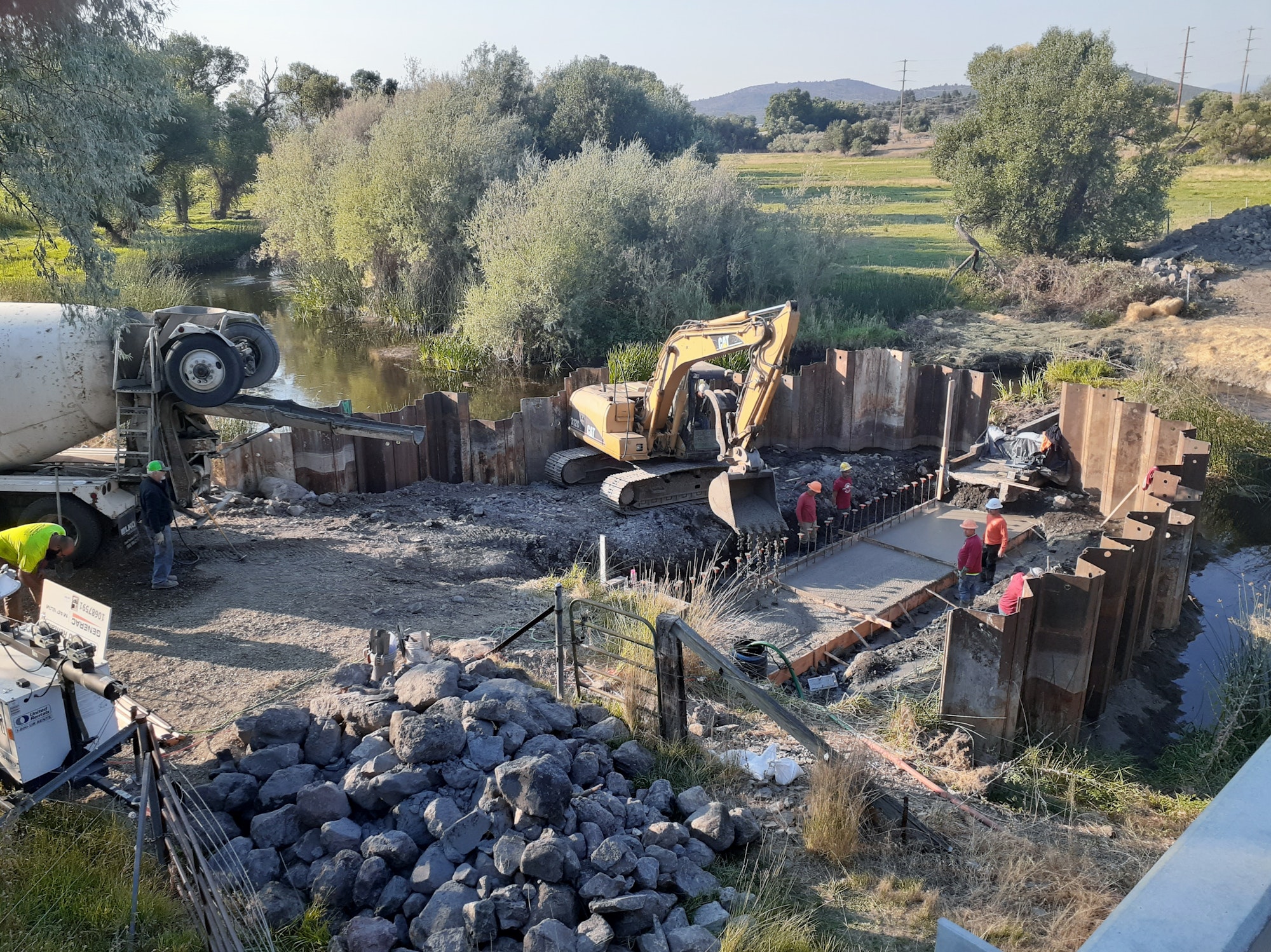
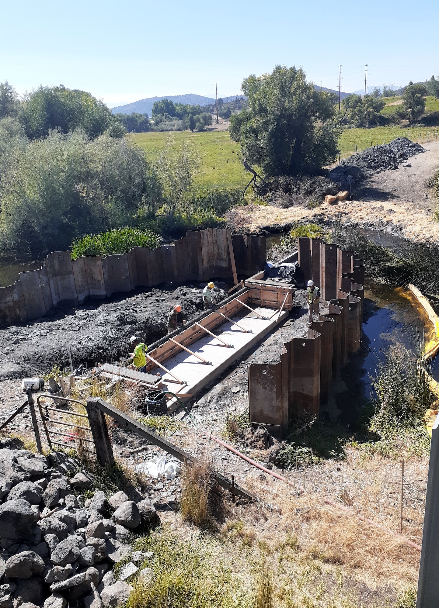
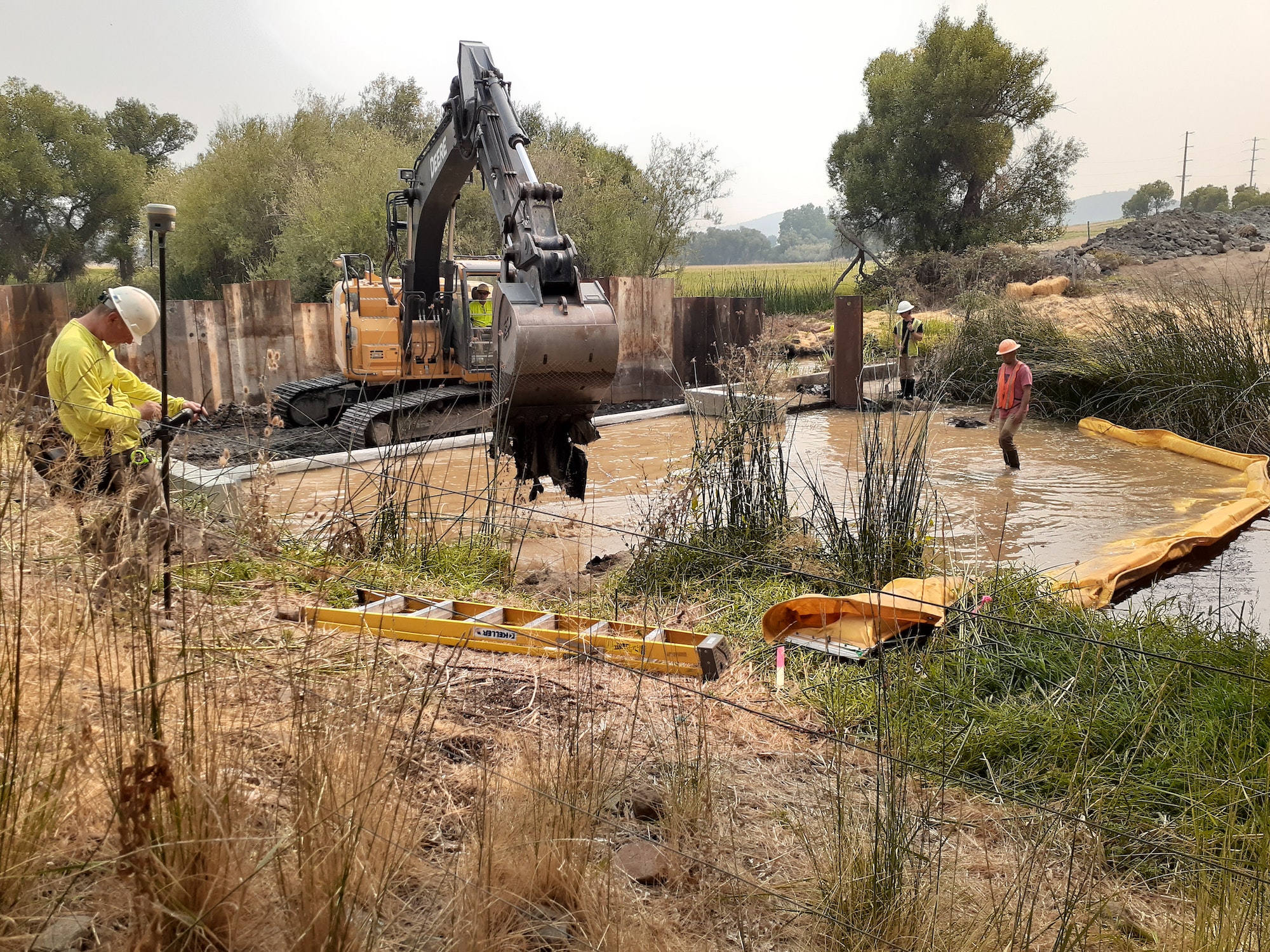
Project Description: The Montague-Grenada Weir, built in 1980, is a channel-spanning concrete structure used by USGS and the Scott-Shasta Watermaster District to measure Shasta River flows for irrigation management. Despite its operational importance, the weir created a near year-round fish passage barrier: summer flows frequently fall below 20 cfs, effectively preventing fish passage except during infrequent high-water events. The project had two coequal goals: preserve the open-channel flow measurement function for water management agencies, and restore fish passage for all life stages of salmonids. The solution raised the low-flow sill to match the weir’s main sill elevation, eliminating the hydraulic drop that impeded fish movement while maintaining the structure’s hydrological function. Construction was completed in September 2021 after years of permit challenges, design negotiations, and funding hurdles. USFWS provided critical additional funding in June 2021 to offset COVID-related supply cost increases. The USGS flow gauge was reinstalled by October 2021. The SVRCD assumed responsibility for weir maintenance and management for a five-year period post-construction. An Operations and Maintenance Plan and as-built survey were completed and submitted in May 2022. A concept design for a new fish screen at the downstream Meamber/Hull diversion was also completed under this grant, with CDFW funding secured for its implementation in summer 2024.
Expected Completion: Fall 2021
Project Effectiveness: Post-construction monitoring has been conducted on a weekly basis by SVRCD, with additional monitoring by USGS (flow), CDFW, and SSWD for flow accuracy, debris, temperature, and dissolved oxygen. Annual Monitoring Reports were completed for 2021 and 2022, with the 2023 report anticipated in early 2024. The weir modification successfully removed the in-stream barrier while preserving water measurement capabilities. Ongoing temperature and flow monitoring will continue under separate funding. The SVRCD retains one additional year of monitoring under its 1602 Streambed Alteration Agreement to document long-term weir functionality.