
Tag: Pacific States Marine Fisheries Commission
-
Pacific Lamprey Passage Assessment Database (PAD) Project
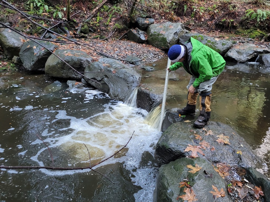
This statewide data and GIS infrastructure project developed standardized barrier assessment tools specifically for Pacific lamprey to complement existing salmonid-focused assessments in California’s Passage Assessment Database. Work included creating historical and current distribution GIS layers, defining lamprey-specific data fields, and developing a standard barrier assessment form. The project directly supports prioritization of barrier removal to aid Pacific lamprey restoration across California, where current distribution is estimated at roughly half the species’ historical range due largely to impassable dams and water infrastructure.
Lastest News
Get Involved!
Learn about restoration funding and connect with fish passage experts at a California Fish Passage Forum Committee meeting.